
#823, East Toll Gate @ Buckley (PS)
Installation date: 1989-AUG-03
Coordinates: 39:42:41 N 104:47:28 W
Elevation: 5460'
Record High Water: 3.7' (1610 cfs), 1991-JUN-06
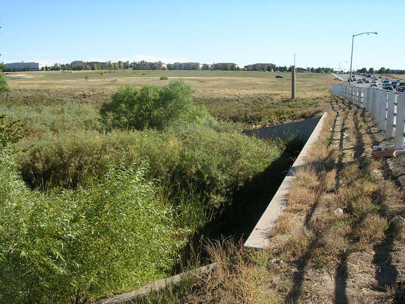
Looking south at gage cross-section
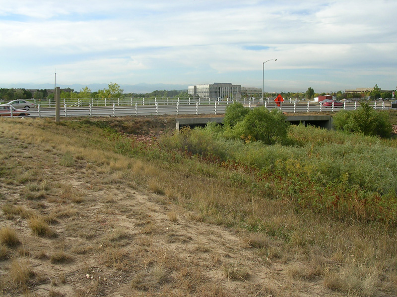
Looking downstream at culverts and Buckley
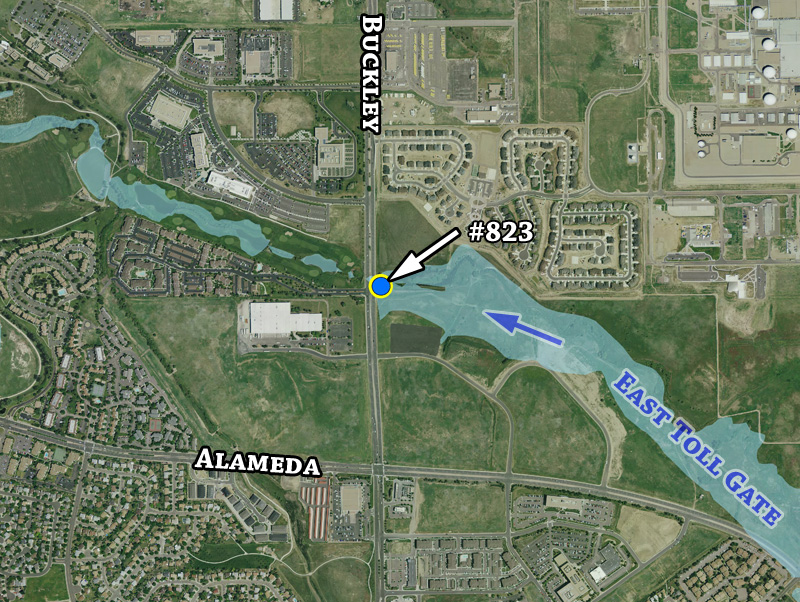
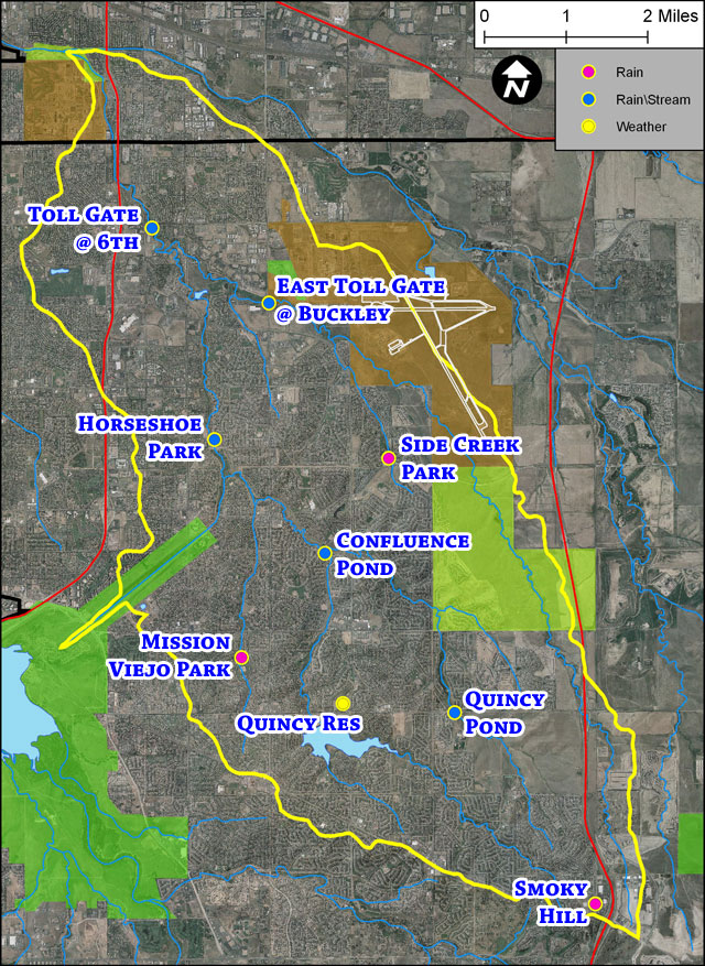
Detailed gage location map