
#724, West Toll Gate Creek @ Confluence Pond
Installation date: 1989-JUL-25
Coordinates: 39:40:01 N 104:46:37 W
Elevation: 5570'
Record high water: 3.7' (1,080 cfs), 2004-JUL-23
Coordinates: 39:40:01 N 104:46:37 W
Elevation: 5570'
Record high water: 3.7' (1,080 cfs), 2004-JUL-23
#723 is immediately above pond, measuring West Toll Gate Creek inflow
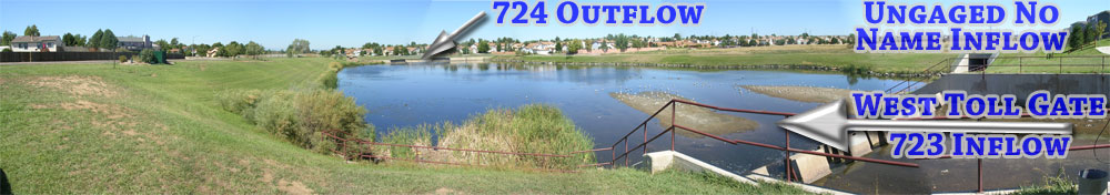
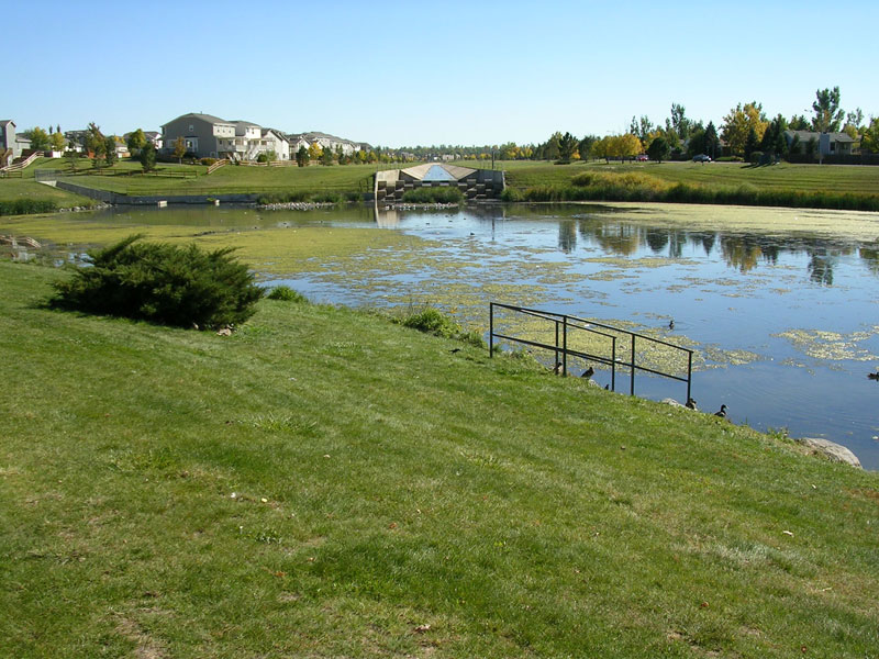
Looking upstream from pond towards West Toll Gate Creek
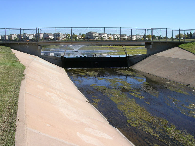
Looking downstream from pond at spillway
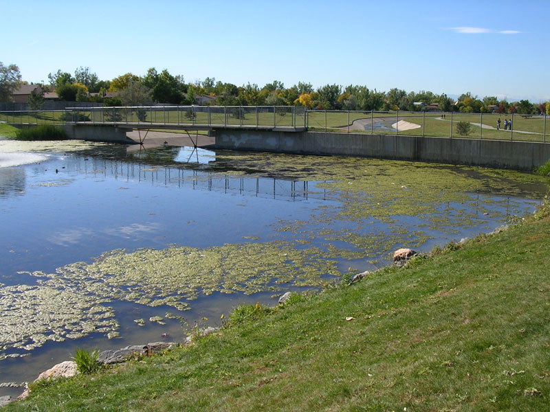
Looking upstream at pond and spillway
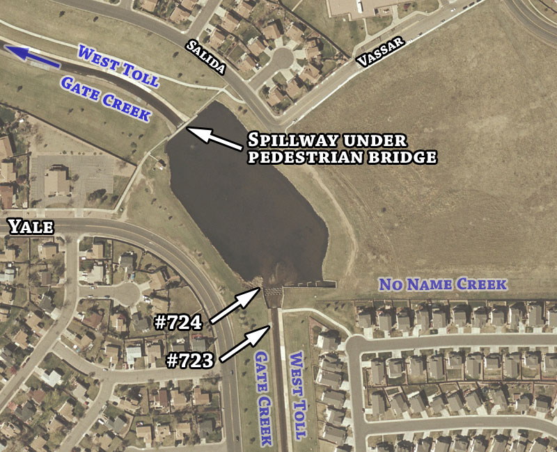
Detailed aerial map
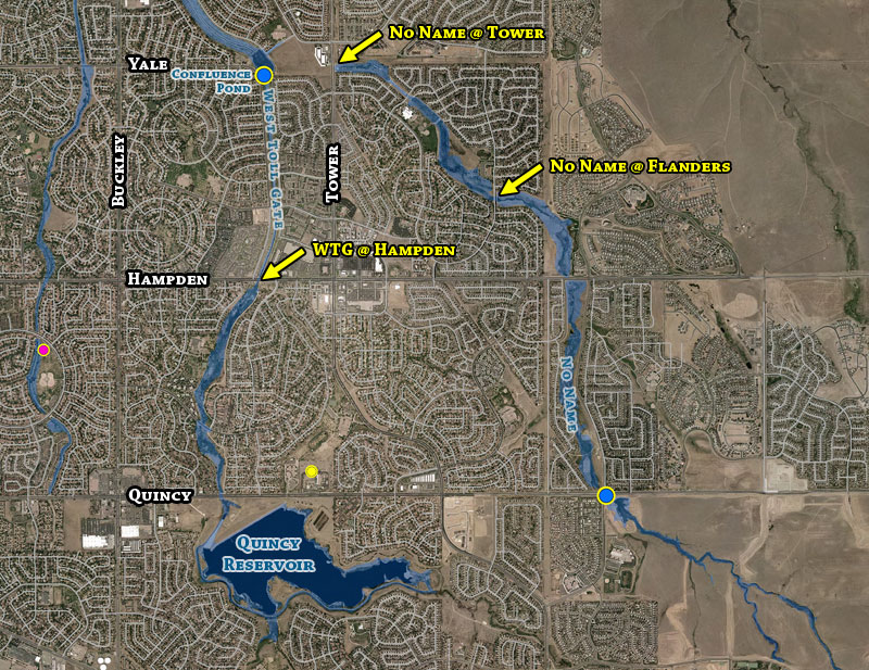
Upstream Floodplain and Problem Areas