
#723, West Toll Gate Creek @ Confluence Pond
Installation date: 1989-JUL-25
Coordinates: 39:40:01 N 104:46:37 W
Elevation: 5570'
Record high water: 3.7' (1,080 cfs), 2004-JUL-23
Coordinates: 39:40:01 N 104:46:37 W
Elevation: 5570'
Record high water: 3.7' (1,080 cfs), 2004-JUL-23
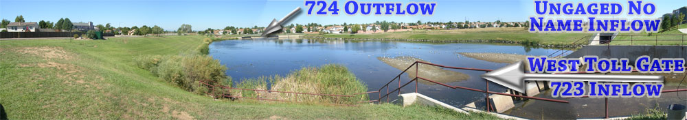
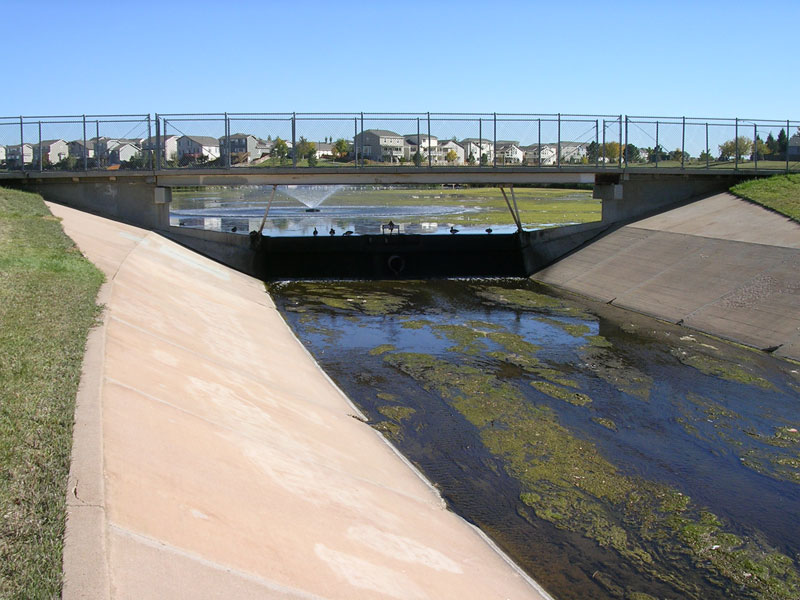
Looking upstream from pond towards West Toll Gate Creek
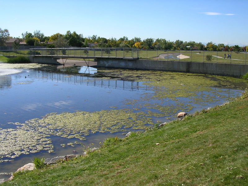
Looking downstream from pond at spillway
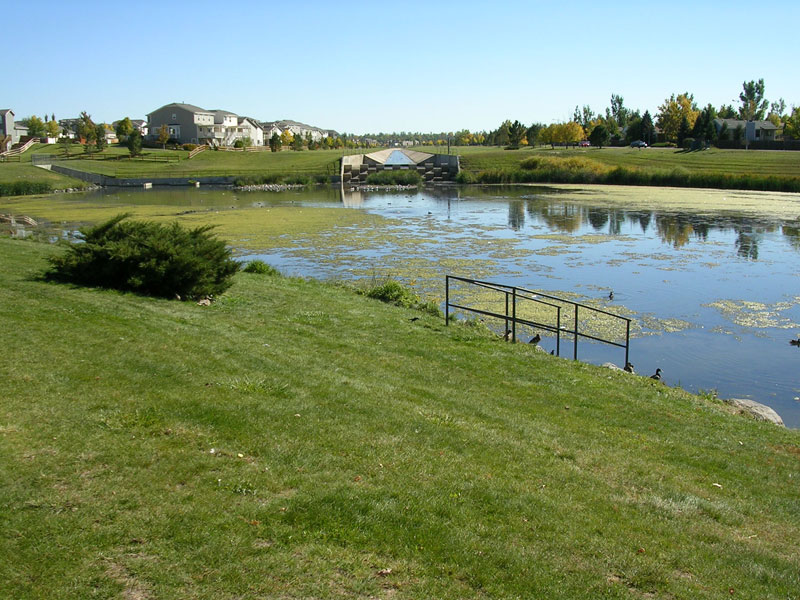
Looking upstream at pond and spillway
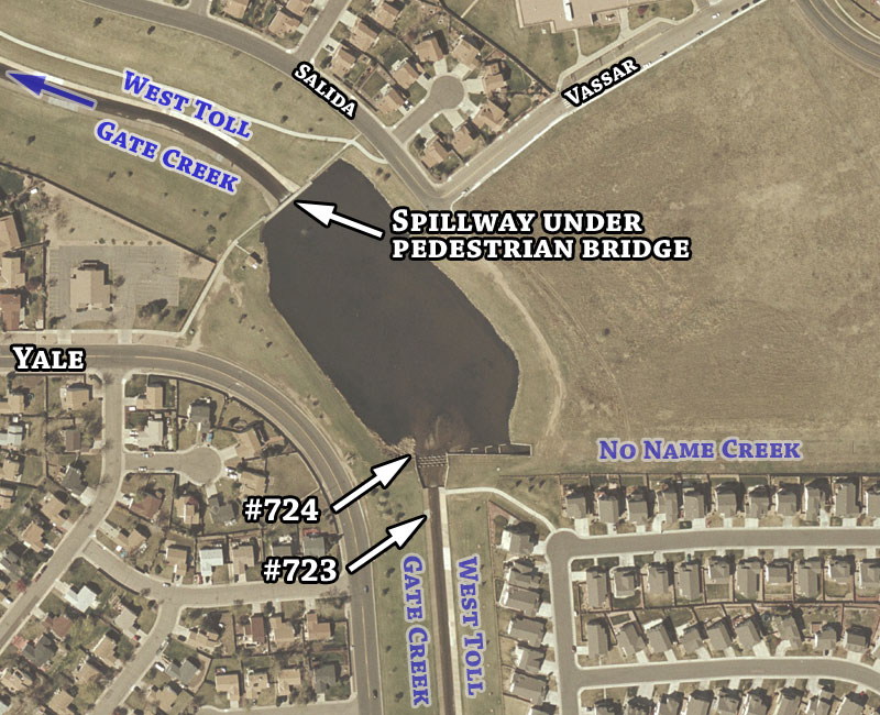
Detailed aerial map