
#713, Horseshoe Park Drop (PS)
Installation date: 1989-JUL-17
Coordinates: 39:41:14 N 104:48:11 W
Elevation: 5490'
Record High Water: 3.2' (1910 cfs), 2005-Jun-03
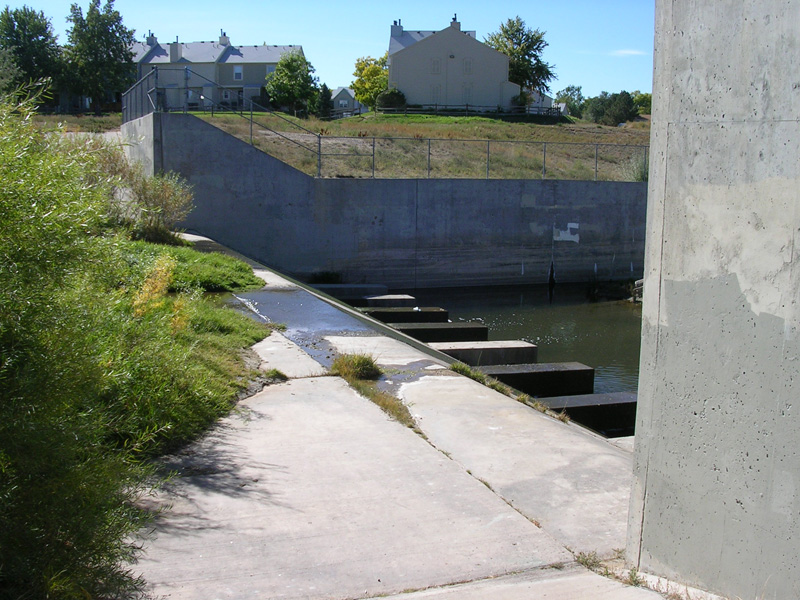
Looking downstream at drop structure
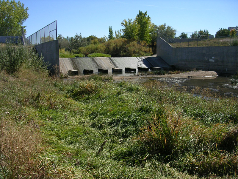
Looking upstream at drop structure
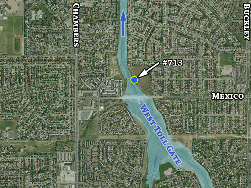
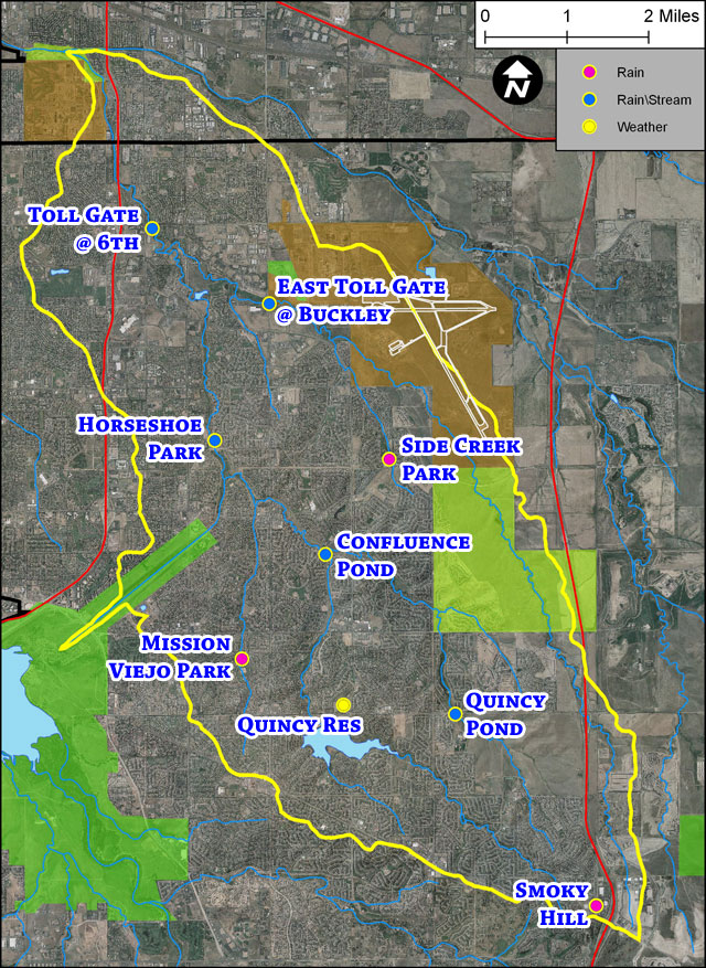
Detailed gage location map