
#653/654, Goldsmith Gulch @ Iliff Pond (PS2)
Installation date: 2004-AUG-25
Coordinates: 39:40:26 N 104:54:40 W
Elevation: 5440'
Record high water: 8.49' (900 cfs), 2005-JUN-03
Goldsmith Gulch Flood Warning Plan, HFP #1
SITE OVERVIEW:
653 is located along the left bank of Goldsmith Gulch just downstream of the sidechannel spillway to Iliff Pond (654). This location is prone to frequent flooding, including overtopping Iliff Ave and flooding vehicles in downstream apartment parking lots. Scroll down to see site photos, flooding photos and GIS maps.
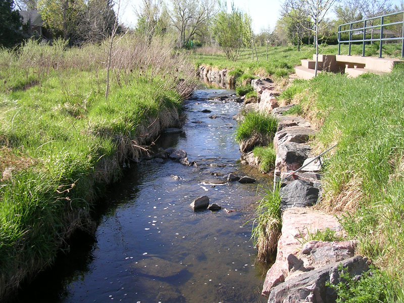
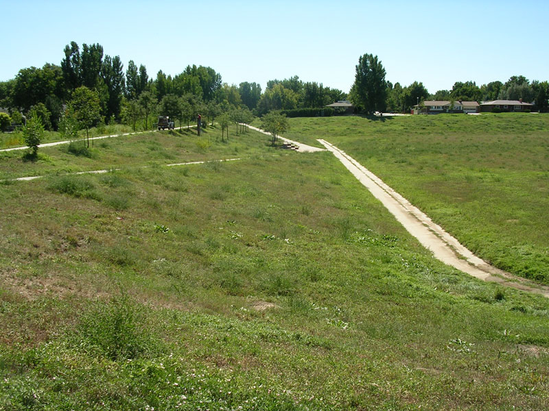
Looking upstream at 653, side channel spillway and trail
Looking across the stream at the spillway
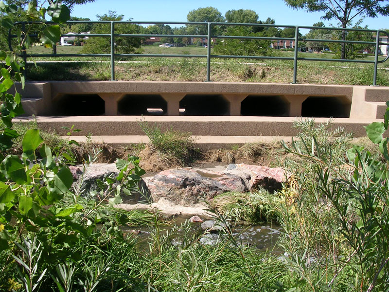
Looking downstream at 653, trash rack and Iliff
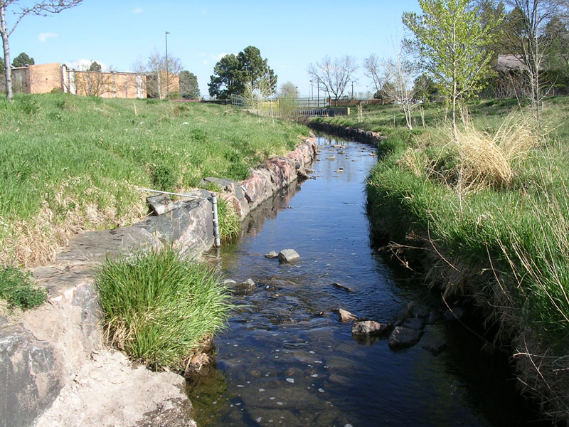
Looking upstream at 654, pond and trail
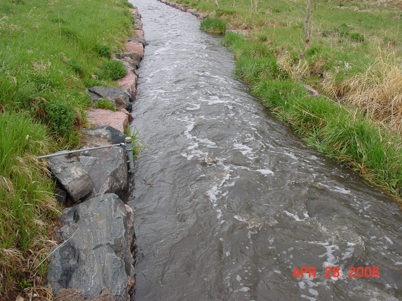
Looking downstream at 653, Stage = 2.2'
Goldsmith Gulch at Iliff just after overtopping begins
Stage ~ 7' (2005-JUN-03)
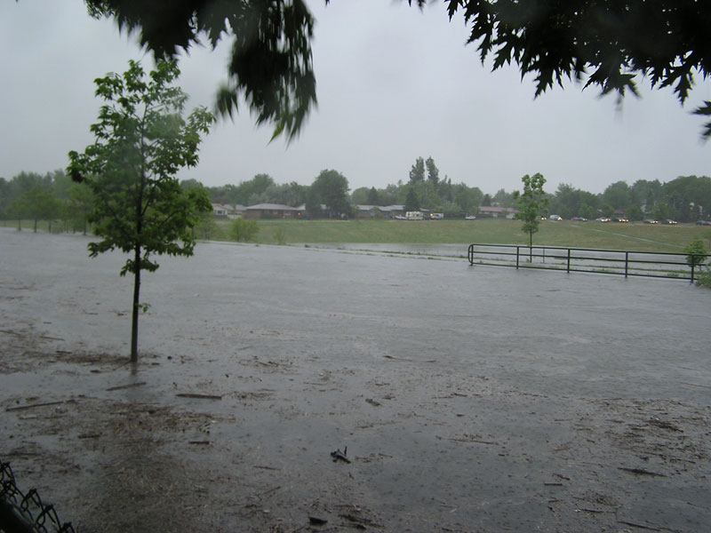
Iliff below 653
Stage ~ 8.4' (2005-JUN-03)
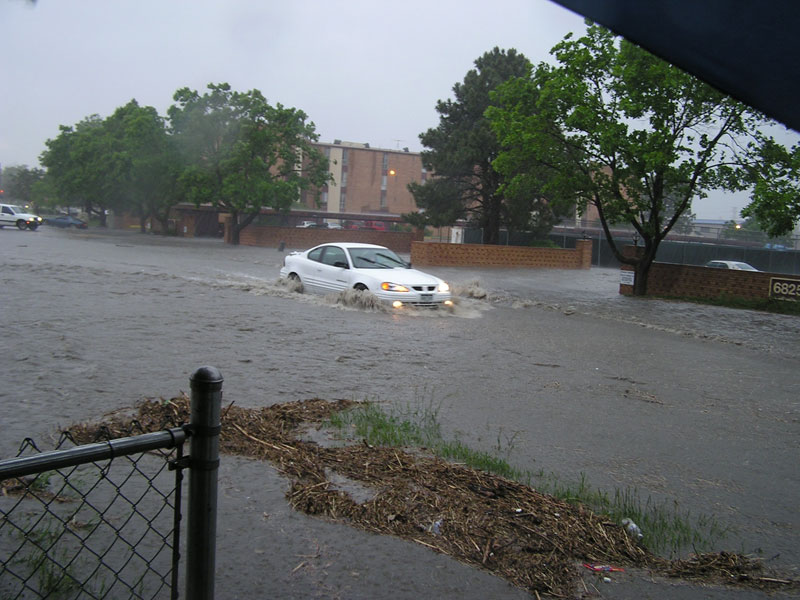
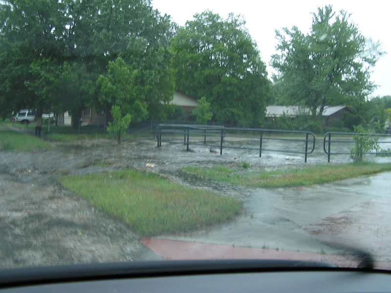
Looking downstream towards problem area, Iliff overtopping, parking lot flooded to a depth of approximately 2'
Stage ~ 8.4' (2005-JUN-03)
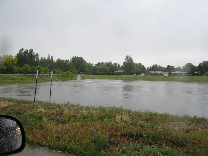
Looking upstream at 654, Iliff Pond
Stage ~ 3.7' (2005-JUN-03)

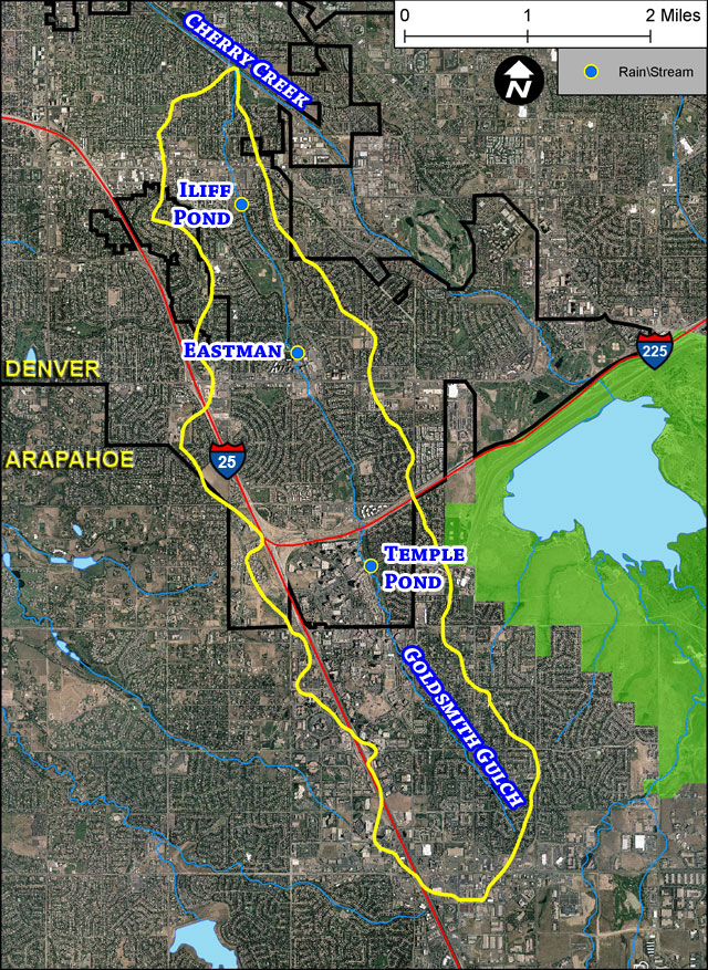
Detailed aerial overview with 100-year floodplain estimate
Goldsmith Gulch basin and gages
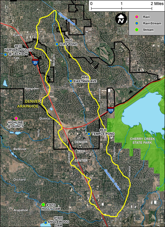
Goldsmith Gulch basin and gages