
#643, Goldsmith Gulch @ Eastman (PS)
Installation date: 1989-SEP-06
Coordinates: 39:39:22 N 104:54:08 W
Elevation: 5477'
Record high water: 85.9' (12' deep, 2,040 cfs), 2001-JUL-08
Goldsmith Gulch Flood Warning Plan, HFP #2
SITE OVERVIEW:
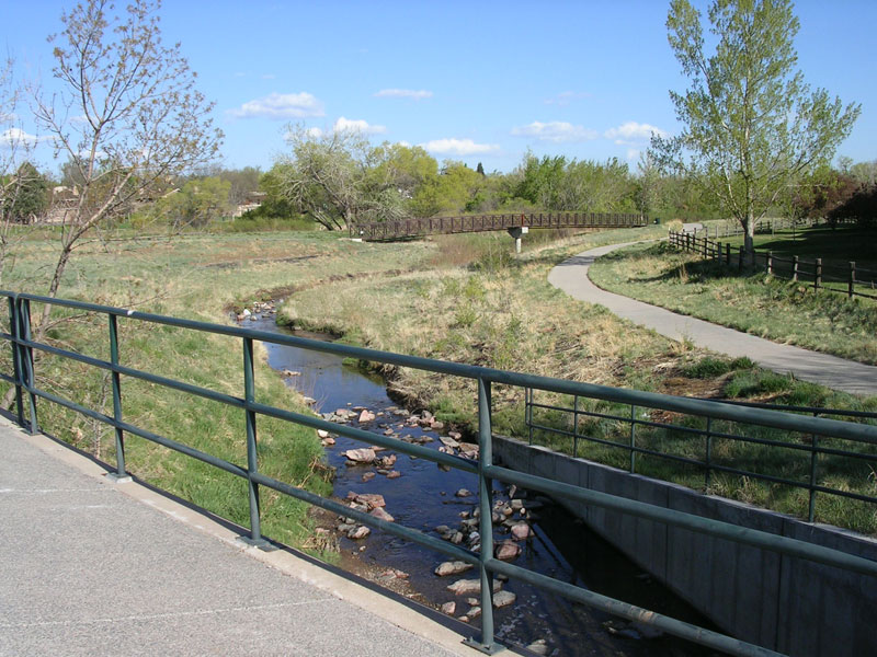
643 is located along the left bank of Goldsmith Gulch, just upstream of Eastman Ave. Scroll down to see site photos, flooding photos and GIS maps.
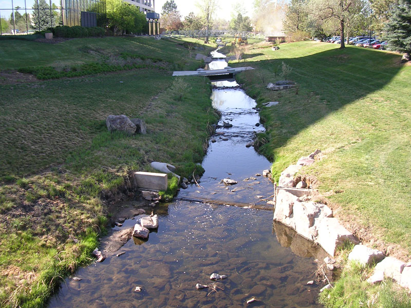
Looking upstream at 643
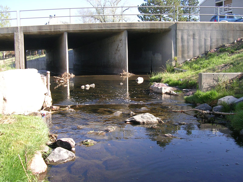
Looking downstream at 643 and Eastman bridge
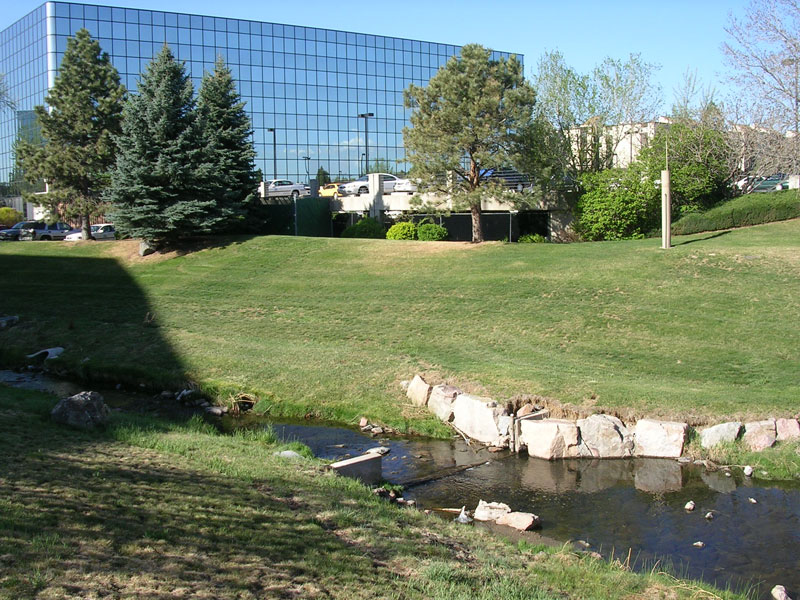
Looking across stream at 643 and standpipe
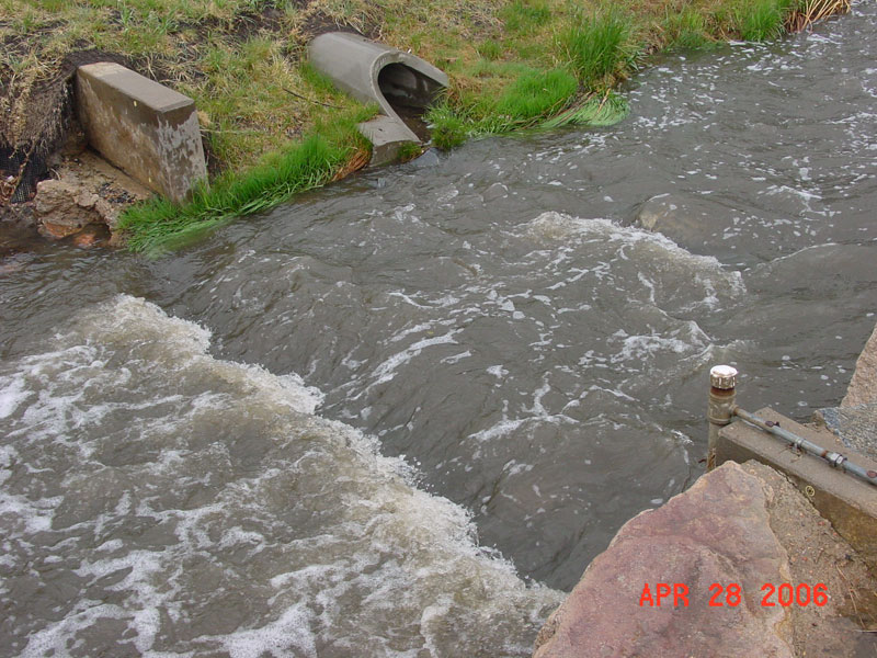
643, stage ~0.3
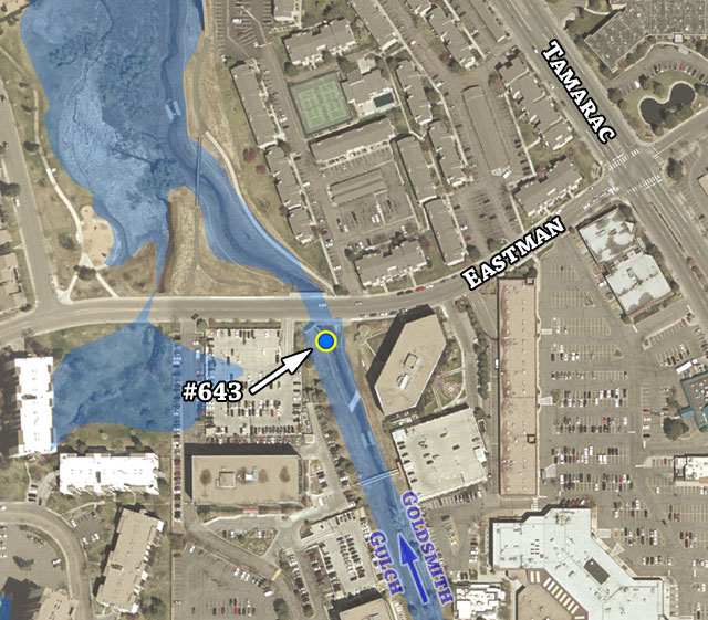
Detailed aerial overview with 100-year floodplain estimate
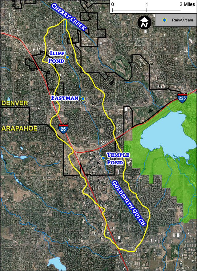
Goldsmith Gulch basin and gages
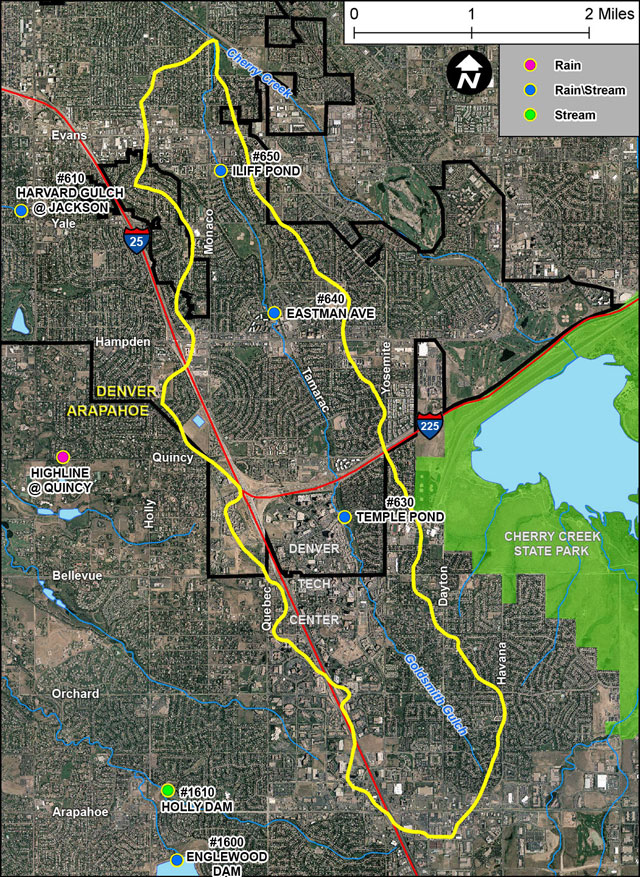
Goldsmith Gulch overview map