
#4833, SBC @ Sans Souci (PS)
Installation date: 2002-SEP-24
Coordinates: 39:57:28 N 105:14:09 W
Elevation: 5470'
Record high water: no significant flow since install
SITE OVERVIEW:
4833 is located upstream of State Highway 93 (Foothills). The Sans Souci Mobile Home Park is in the floodplain immediately downstream of this gage. High flows in this area will also be conveyed by Dry Creek Ditch #2 so the gage discharge may not accurately reflect the total volume of flood waters. Scroll down to see site photos and maps.
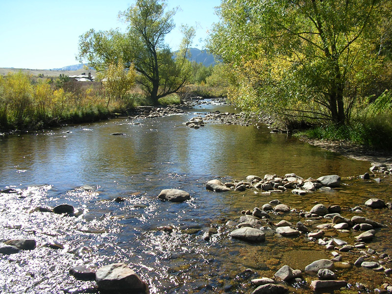
Looking upstream from gage XS
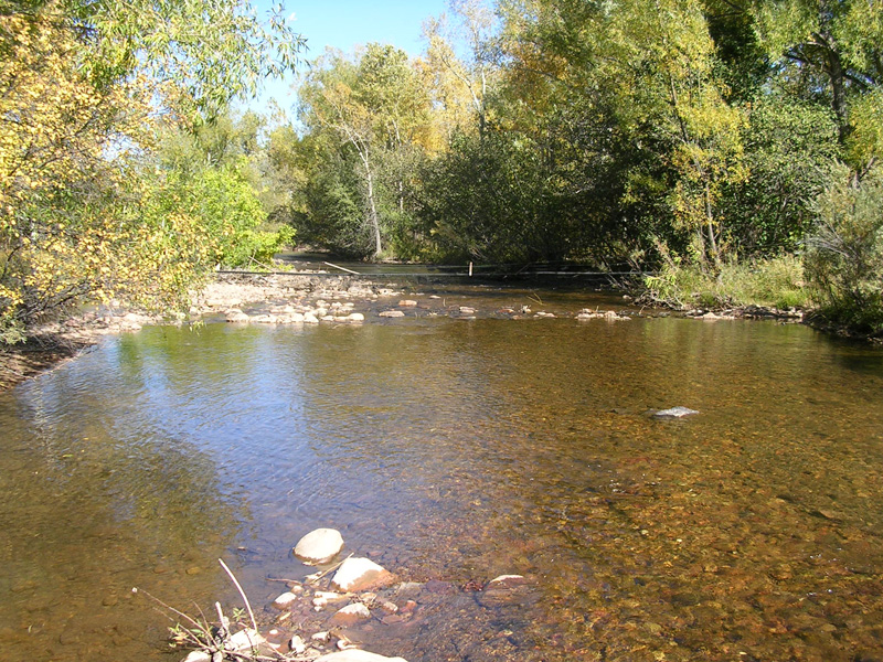
Looking downstream at gage XS
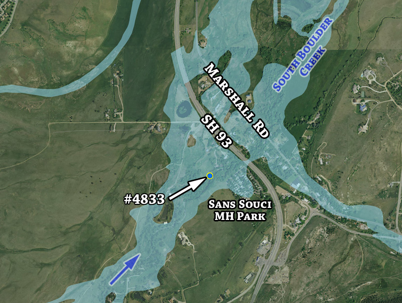
Detailed aerial overview with 100-year floodplain estimate
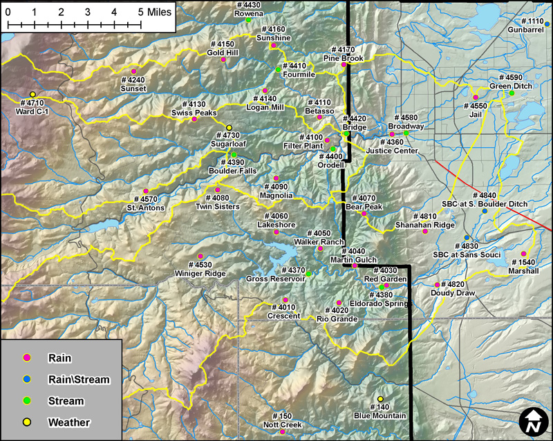
Boulder Creek and South Boulder Creek basin gages