
#1043, Lena @ US Hwy 6 (PS)
Installation date: 1985-JUN-02
Coordinates: 39:43:31 N 105:11:34 W
Elevation: 5920'
Record high water: 20.9' (520 cfs), 2004-JUN-08
Lena Gulch Flood Warning Plan, HFP #2
SITE OVERVIEW:
1043 is located along Lena Gulch immediately upstream of US Highway 6. The gage is slightly elevated inside a concrete channel. Scroll down to see site photos and maps.
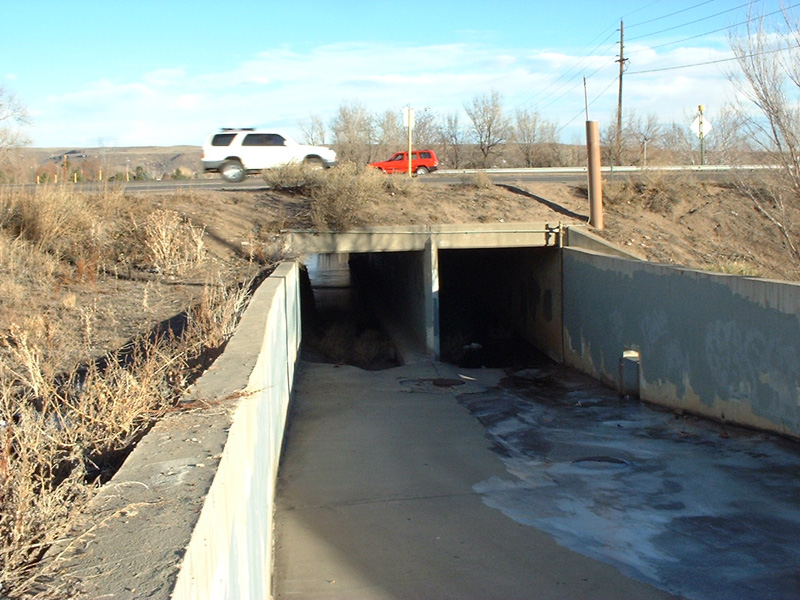
Looking downstream at 1043 and US 6
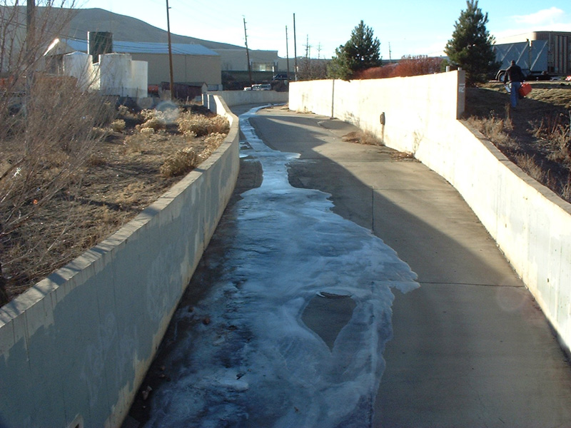
Looking upstream at channel
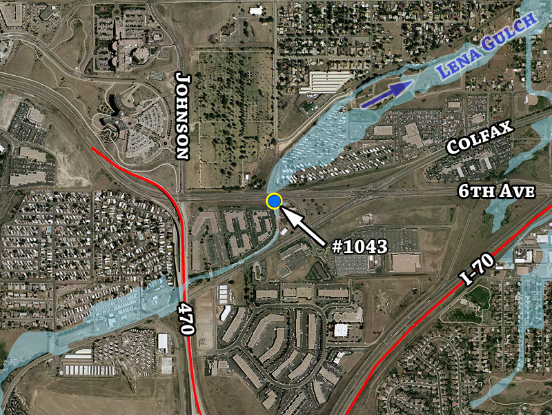
Detailed aerial overview with 100-year floodplain estimate
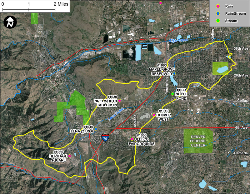
Lena Gulch basin gages