
#1003, Maple Grove Reservoir (PS)
Installation date: 1985-JUN-02
Coordinates: 39:45:20 N 105:08:12 W
Elevation: 5520'
Record high water: 28.24' (190 cfs), 2004-JUN-08
Lena Gulch Flood Warning Plan, HFP #5
SITE OVERVIEW:
1003 is located near the spillway for Maple Grove Reservoir along Lena Gulch. Downstream locations are protected by Maple Grove Reservoir up to a 100-year event. Once an event reaches 500-year runoff the reservoir must begin releasing a large volume of water to protect the structure. Downstream floodplain areas will be at risk in large events. Scroll down to see site photos and maps.
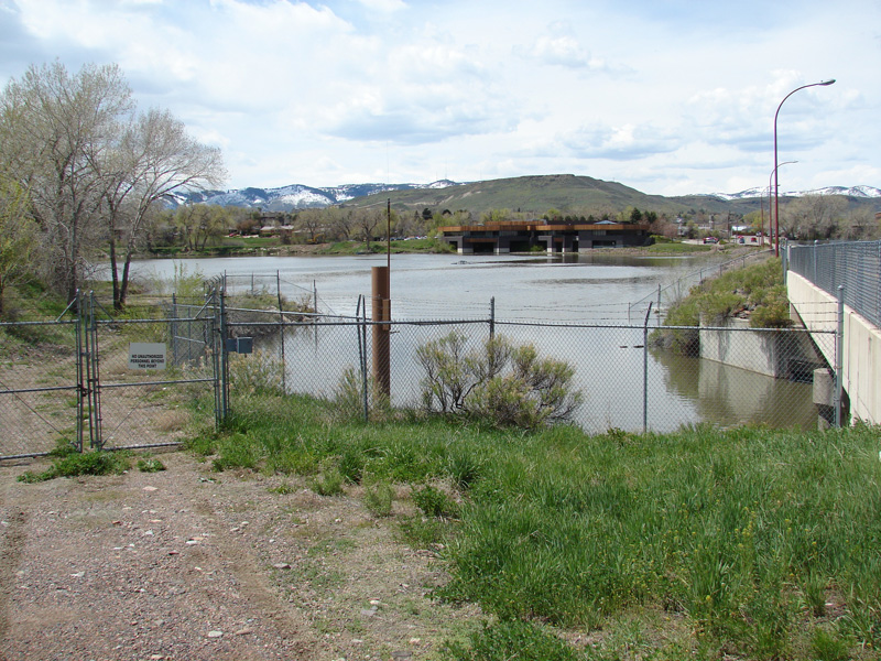
Looking west at 1003
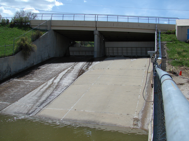
Looking upstream at spillway
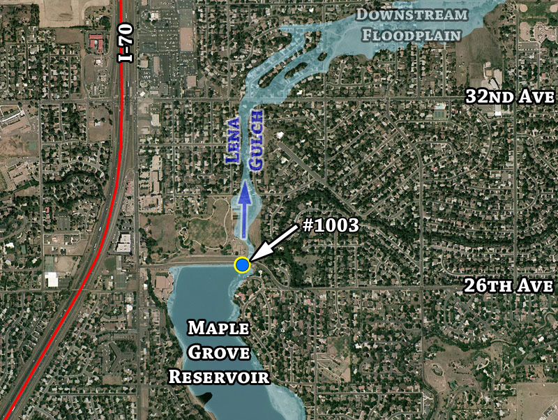
Detailed aerial overview with 100-year floodplain estimate
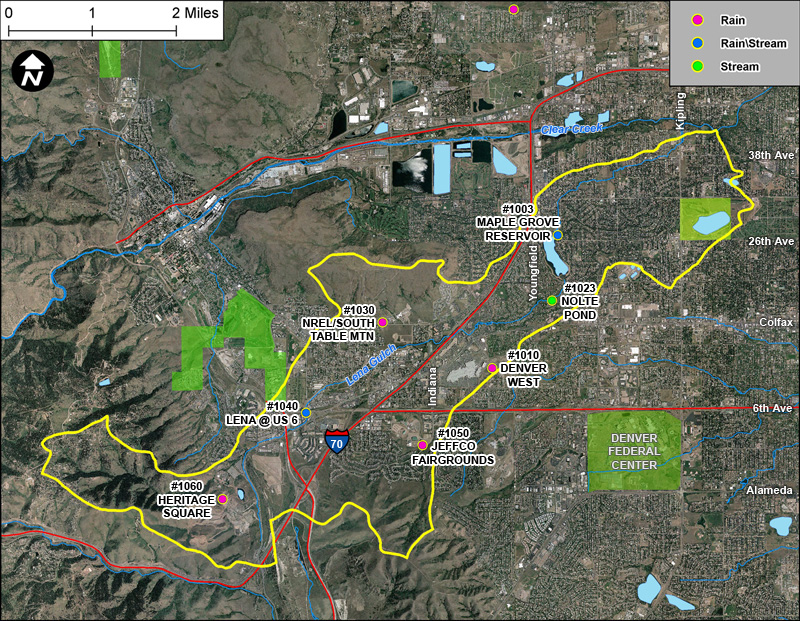
Lena Gulch basin gages